
The Devil’s Path is so named for Charles Devonshire Deval who cut the trail in 1929 through the highest peeks in the Catskill Mountains. While not substantiated as true by scopes, I like to believe it. The path is know as one of the 6 most dangerous in the United States and through some amount of hyperbola makes the top 20 in the world.
This blogger chose the path easterly to westerly since it was the access point from the old Overlook Road and met with a potential escape route at Mink Hollow.
This writer would love to boat and brag about finishing a section of the deadliest trail and recount scrapes with near death, however, if one grew up in or around the famed Catskill Mountains, one does not fear the terrain since it is familiar yet one has a healthy respect since a cliff is a cliff and down is down and from many a point on the trail one can fall quite a ways and land on some nasty rocks along the way and then below.
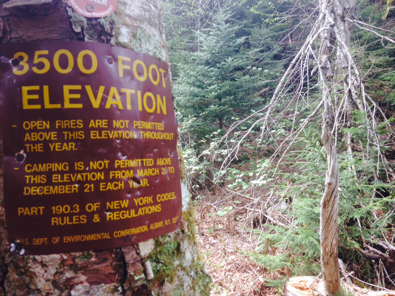
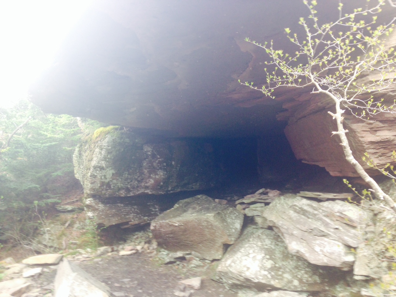
 The Catskills are quite the mountains of madness. They are deceptive and tricky. Appearing as gentle bumps from a distance they are full of cloves, slides, chutes, chasms, chimneys, caves, and cliffs. It is no wonder that so many neophytes choose the Catskills as their Final Destination. Many fall off Katerskill Falls – so many that the state is to build a walkway with guardrails and steps to reduce the fatalities to an acceptable level and cheat Darwin out of His dues.
Some tumble down Hunter Mountain. Overlook claims a few from time to time. The swimming holes are popular places to hit your head on a stone and drown as are the abandoned quarries filled with crystal clear water so that, unlike most waters of the blessed northeast, you can see to the bottom. A good many others select the Devil’s Path upon with to perish but the numbers are lower since one has to work hard to get on the trail and it’s not just a short jaunt from a car park as are some of the more popular areas.

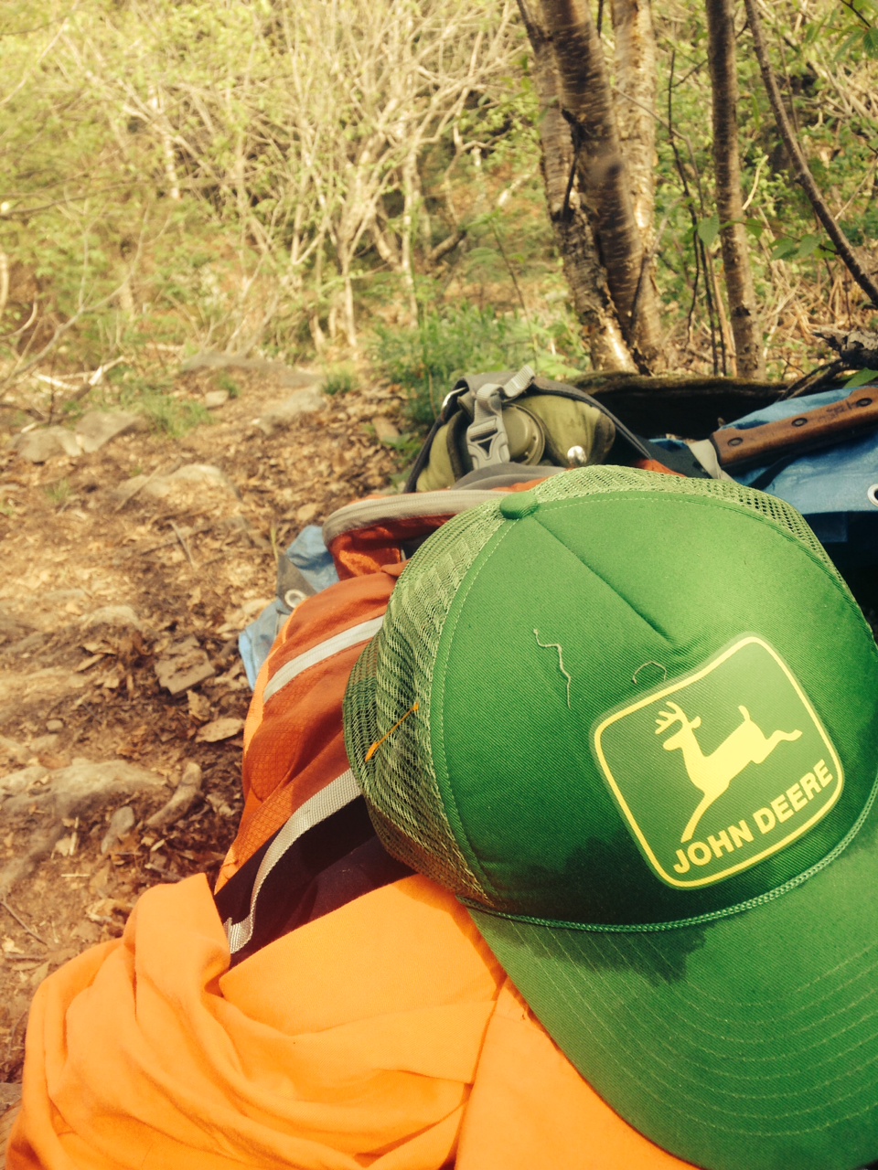
From the east the trail starts out gentle for the first 20 or 30 yards. Then it stops with the foreplay and goes right in for the… Aftplay. I carried too much gear for reasons that are embarrassing to explain other than my planning was long but time to pack short and while not an armature hiker I am not an expert. I have grown up in the region and as a backyard have blundered into the woods with only a bottle of Snapple and wearing old loafers because perhaps I was too comfortable. Being raised among the rocks and fens I am able to navigate perhaps better than others and am not afraid to go barefoot if need be or crawl on all fours through mud and brush – which is something flatlanders do not seem inclined to even though they transport themselves in 4 wheel drive and believe they are descended of apes.
Indian Head is a hell mountain. Several pages torn from Lord of The Rings and jammed into a broken spine library copy of Wuthering Heights. The story of doomed love interrupted by a pointless adventure with orks.
Panting and heaving and discarding every food product I didn’t need, I managed to scramble up a little, collapse, scramble some more, collapse, and repeat. I had traversed 3.5 miles in about an hour on stable and normal earth but now was moving at a rate of about a mile an hour. The top of the mountain never arrived. It seemed that each time it appeared to be the summit that again there would be a minor climb. There was but a few places with a view but when there was one it was indeed a reward for having exerted and toiled away close to mud and rocks for so many hours. Getting down was just as fun.
At the bottom I appreciated that the elevation lost in decent wasn’t so great so at least the next mountain, Twin, would not be as long a haul. At the crossroad I hesitated. I looked at my time piece since I had a later than expected start and the sun was well, well, beyond zenith. I looked at the sign post that informed me that my intending stopping point, Mink Hollow Lean To was but a few miles away, however, I had at most covered about three miles in so many hours. The sign tempted me with its pointing little arrow, the yellow trail badge, the mile to the trailhead parking lot. This was an out. An escape route. However, I had my mind made up. This was my opportunity, it was my chance, and it was on my calendar and the older I get the more things must be planned well in advance and arranged and rearranged to fit between so may moving wheels of life.

I got up, strapped on my pack, which had strangely gotten even heavier than before, and move on to the next mountain. About 50 yard up the trail I was again on my back panting. After my heart rate returned to normal, I donned my kip pack – considered tossing away hundreds of dollars of gear – and hikes up ever up perhaps another 100 vertical feet before repeating my now well-practiced ritual of finding a way to lay down without falling down the mountain, removing my pack, taking off my shirt and hat, and panting until my heart no longer felt like it would explode. About half way up the mountain I was taken aback by a long assent that would require a scramble and I sat dejected and the situation descended upon me as if coming too out of a dream and realizing that indeed the danger of the nightmare was real. I was halfway up a mountain and starting to feel not tired but fatigue and that with daylight fast marching towards the night and my water quickly being spent, I was out there in the open expanse suddenly struck by a claustrophobia as if I was being smothered by all this experience, all this alone, all this hike… The think worm of fear started to creep into me and it was allI could do to shake it, install my pack on my back and climb on and on.
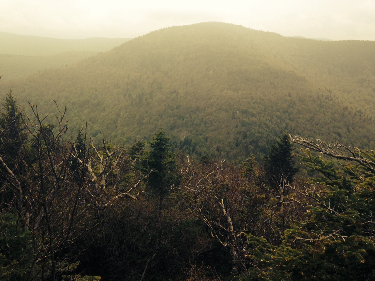
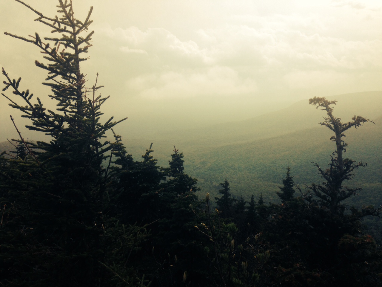
I finally reached the summit or an area flat enough to be an actual enjoyable walk. The view peaked out from the trees and I emerged from my fear to a euphoria, perhaps the onset of madness or dehydration and I suddenly had energy to march through the pathway that cut between the boreal forest. There is a point on Twin where the view is of the Catskills beyond, those further fields and hilltops striking into the distance. A stunning view even with the slowly enveloping shroud of humidity that lends a blue gray to those distant mountains and prevents all but the very best quality cameras from capturing the depth and any sense of perspective.
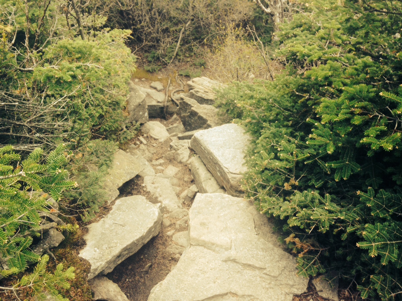
The way down Twin is a series of broken stones jumbled up by ice gods and tossed about by various forces too frightening to contemplate in polite company or without one hand on a sacred object. Nevertheless, this section seemed challenging in an enjoyable way. In all, for some reason, I was sad to leave Twin Mountain, having enjoyed most of the mountain.
The last old god in front of me was Sugarloaf. The candy coated name hides the interior that is anything but sweet. A stumble bumble tumble up, on higher and higher, I kept checking to Twin to see how far I was up, to assume my elevation and in hope that I would summit before the sun started to set. I plotted my goals in small increments looking only a few feet ahead. Which was good because whatever insanity had given me a burst of energy had now worn off and was my weak flabby self yet again. Worse, my water bottle sprung a leak and I was out of water. There was no need to panic, but I was getting concerned. I looked to the illegal camping spots and was tempted to stay the night and remove myself when I had some time to rest, but a thin cover of mist, the deepening cloud cover told me that in the dark, all alone, in the night, the rains were coming and perhaps a few lightning strikes. And the bears… There was still bears in these woods. So I continued on. Sugarloaf never seemed to end. I kept pushing knowing that I could slacken my pace when I made it to the decent.

While I had read a topographical map prior to leaving my house, I had not taken more than a copy in fuzzy picture form on my iThingamajigy. I was still shocked at the elevation drop to the hollow. Perhaps not shocked…. revolted. My legs were starting to quiver and I stumbled several times. The light grew flat and it was getting difficult to see the contours of the rocks upon which I stuck my metal poles and placed by shoes. But, there was no way to remain on this side of the mountain for night so I moved on and on each step my mouth that much dryer and my strength vanishing slowly as the sun set in a dismal and anticlimactic plotz, a pile of unimaginative colours not worth my toiling hours in order to capture this view. Murky blues and rancid orange-yellow. Nothing worth Instagram… which is a sad way of seeing the world, but this is the way we are trained to think.
In time, and with many boring steps and shuffles and prods and slips I made it to the camping area, just in time for the curtain of thick black dropped as a blanket over the forest. It was late by camper standards and already the lights in tents were winking out and I was left stumbling like some solder of a failed platoon searching for one thing… water. I saw a sign that exclaimed “Spring” and into the night I went tossing off my pack and staggering with a little headlamp until I came to the water and drank right from the stream not caring if it was infected with rabies or poopsick. After a little more stumbling lost in the dark, I managed to regain my senses find my camp and toss together my hammock and fell into a deep and tremoring sleep and to dream of anything but mountain.
Editor’s Note: Imperfections are an indication of authenticity.
